
In Development · AI Researcher
Varahmihir
AI research extraordinaire — before you spend a rupee in the field.
The Problem
You don't know what's already been published about your area. Until it's too expensive to care.
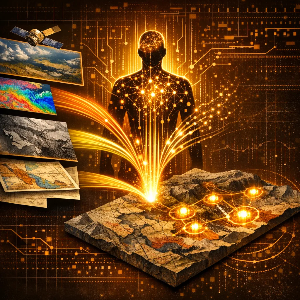
Every exploration program starts with the same blind spot: what has anyone — survey agencies, academics, prior license holders, junior miners — already learned about this ground? The work exists in public-domain reports, mineral occurrence databases, and academic papers, but pulling it together takes a senior analyst three to four weeks per project and is rarely exhaustive. By the time the brief is in, the field crew is mobilised.
What we built
How Varahmihir solves it
- → Area-scoped and commodity-scoped automated research across the open web
- → Surfaces public-domain geological survey reports, academic literature, and mineral occurrence data
- → Synthesises findings into a structured exploration intelligence brief with full source citations
- → Designed to front-load reconnaissance before any field, drilling, or staking cost is committed
The outcome
A senior analyst's three-week research deliverable, available the same day. Pre-release access is open to engaged clients.
Inputs
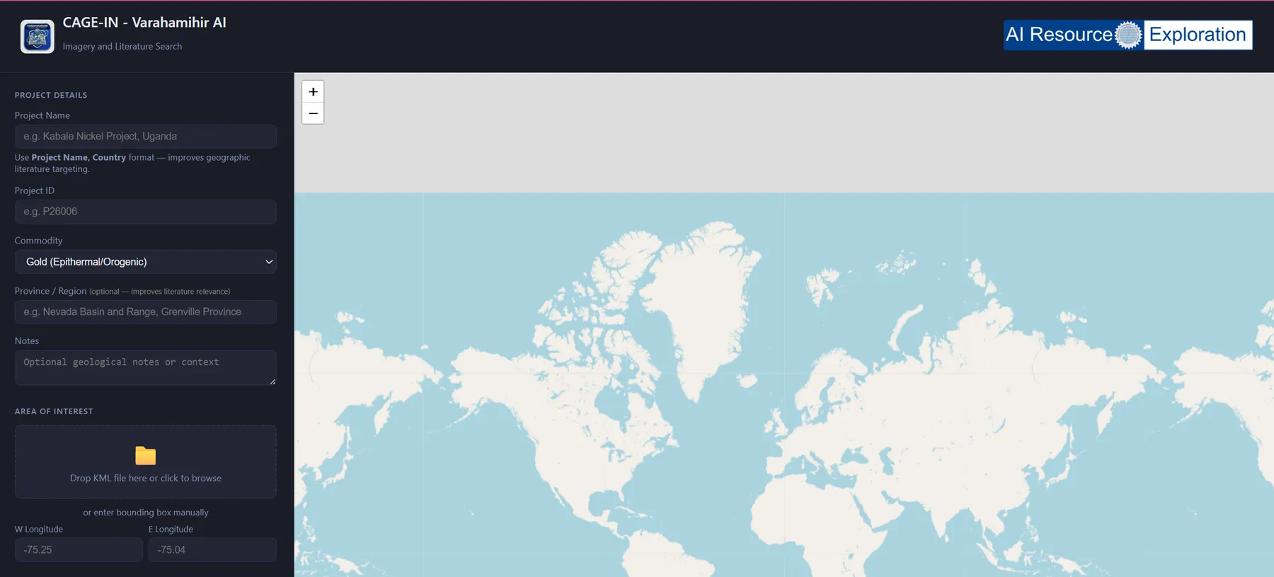
Area polygon or place name · Mineralization style · Optional commodity focus
Outputs
Structured research brief with source citations · Map-ready summary tables
Deployment
Standalone tool · roadmap includes QGIS integration
Version In development
The Landing Page
See it for yourself.
Free Consultation
Curious if Varahmihir fits the work you do for your clients?
Book a 30-minute discovery call with Dr. Amit Tripathi. We will look at what you are delivering today, where these tools could give you leverage, and how a partnership could work — at no cost.
No commitments · White-label terms available · 48-hour reply
Also from AIRE
Other tools in the stack
Production · 3D Prospectivity
Bhumi3DMapper
3D mineral prospectivity for working geologists — no command line, no Python team.
Production · Data Ingestion
Batch GIS Loader
Turn legacy data rooms into a working QGIS project in minutes.
In Development · Regional Reconnaissance
OmniMiner
Regional mineral reconnaissance from satellite imagery — spectral analysis for working geologists.