
In Development · Regional Reconnaissance
OmniMiner
Regional mineral reconnaissance from satellite imagery — spectral analysis for working geologists.
The Problem
Regional reconnaissance over thousands of square kilometres should not require a remote-sensing PhD.
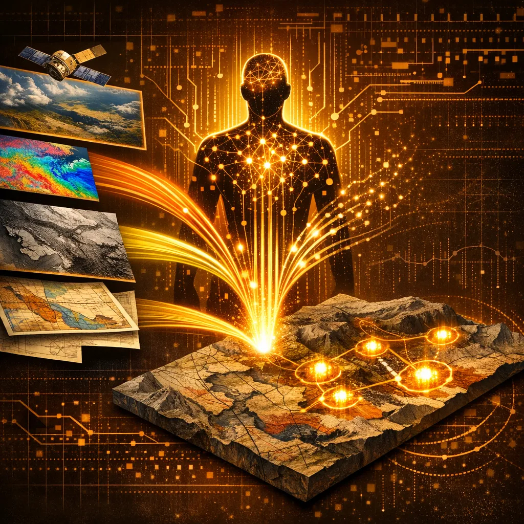
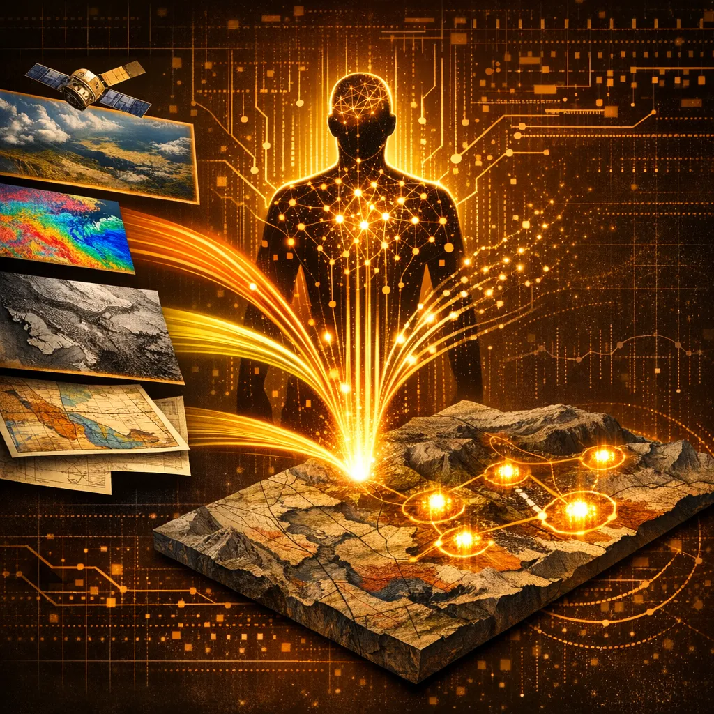
Mineral reconnaissance over greenfield blocks usually starts with weeks of pre-processing Landsat, Sentinel and ASTER imagery — atmospheric correction, band-ratio computation, mineral indices, classification. A solo geologist with a QGIS license cannot keep pace. OmniMiner closes that gap with a user-friendly interface to the same techniques.
What we built
How OmniMiner solves it
- → Spectral analysis pipelines for Landsat 8/9 and Sentinel-2 imagery built directly into QGIS
- → Mineral identification via established band-ratio and PCA techniques — no Python notebook required
- → Designed for greenfield reconnaissance — entire blocks at a time, not single AOIs
- → Output as QGIS-loaded raster + classified vector layers, ready for further interpretation
The outcome
A regional reconnaissance map in days, not weeks. Built for the field geologist who needs spectral analysis without becoming a remote-sensing specialist.
Inputs
Landsat 8/9 imagery · Sentinel-2 imagery · Optional ASTER · Block-scale AoI polygon
Outputs
Mineral classification rasters · Band-ratio composites · QGIS-loaded layers with symbology
Deployment
QGIS plugin · marked "Under Development" in repo
Version In development
The Landing Page
See it for yourself.
Free Consultation
Curious if OmniMiner fits the work you do for your clients?
Book a 30-minute discovery call with Dr. Amit Tripathi. We will look at what you are delivering today, where these tools could give you leverage, and how a partnership could work — at no cost.
No commitments · White-label terms available · 48-hour reply
Also from AIRE
Other tools in the stack
Production · 3D Prospectivity
Bhumi3DMapper
3D mineral prospectivity for working geologists — no command line, no Python team.
Production · Data Ingestion
Batch GIS Loader
Turn legacy data rooms into a working QGIS project in minutes.
In Development · AI Researcher
Varahmihir
AI research extraordinaire — before you spend a rupee in the field.